
About Wayanad
Mountains
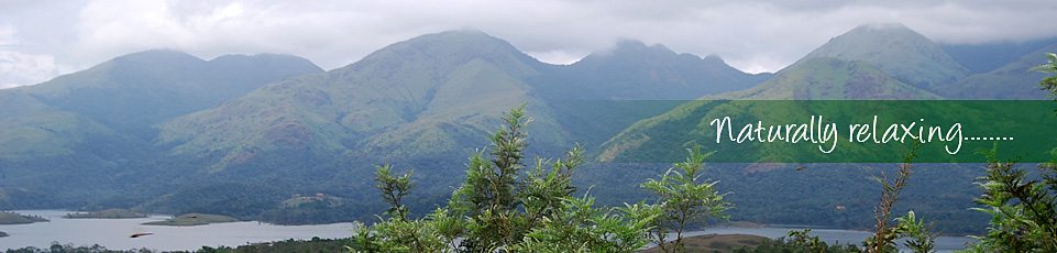
 The altitude of Wayanad varies from 700 to 2100 meters from sea level. The hill ranges through which the road from Kozhikode ascends the Wayanad plateau over mind-boggling bends and ridges. Chembra Peek (2,100 metres (6,890 ft)), Banasura peak (2,073 metres (6,801 ft)), Brahmagiri (1,608 metres (5,276 ft)) are some of the important mountains in the district.
Rivers
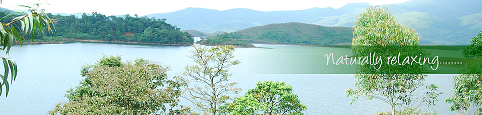
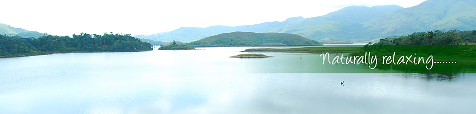
 From the highest altitude of the Western Ghats on the western border of the district, the plateau of Wayanad gradually slopes down eastward. Further from Mananthavady, it becomes a common plain of paddy fields with the swift flowing Kabani coursing through it. Kabani River, one of the three east flowing rivers of Kerala, is an important tributary of the river Cauvery. Kabani and its tributaries constitute a powerful river system in the landscape of Wayanad. Panamaram rivulet takes its origin from the perennial lake called, 'Pookode Lake'. It flows swiftly through mountain gorges and joined by other streams, tumbles down into Panamaram valley. Six kilometres further from Panamaram, this river joins with the Mananthavady rivulet, originating from the lower regions of the peak 'Thondarmudi'. From this confluence onwards, the river is known as Kabani, a mighty, perennial river which after entering Karnataka State, joins with the river Cauvery. Almost entire Wayanad is drained by the Kabani River and its tributaries, namely, Panamaram River, Mananthavady River and Thirunelli River.

